

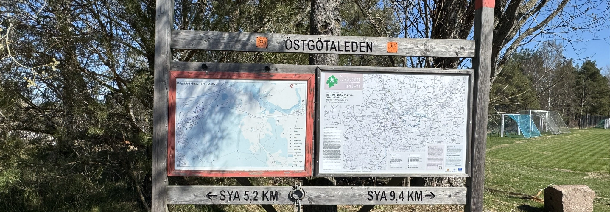
Östgötaleden
Hiking
Experience Östergötland's diverse nature and rich cultural environments. Choose from over 100 stages of varying difficulty and set out into the beautiful landscape of Östergötland!
The Östgötaleden is one of Sweden's longest lowland trails, stretching over 150 miles through the beautiful and varied landscape of Östergötland.
Östgötaleden in Mjölby municipality
- Round loop Sya from Vifolkavallen in Mjölby to Sya via Solberga Nature Reserve. In the southeastern part, there are two alternative routes that are both approximately the same length, 16.1 km.
- Skogsjön Recreational Area to Örbacken Nature Reserve 6 km.
- From Lundbyvallen to Skogsjön 4 km.
- Bleckenstad to Lundbyvallen 8 km.
- Strålsnäs - Bleckenstad 11.4 km The hike starts at Bleckenstad farm, on the border between Mjölby and Boxholm municipalities, and then continues into Boxholm municipality.
The Östgötaleden website and the digital map can be used to plan your hike in advance or as a guide during your walk. There you’ll find everything you need to know, whether you want to take a short stroll with the kids or set off on a really long adventure.
The map includes texts and pictures showing the nature of the different sections and information about the starting point and facilities like rest areas, shelters, and toilets, etc. All sections of the Östgötaleden trail are marked with orange in nature, on posts, and arrows that should be easy to follow. More and more of our stages are being equipped with signposts showing distances to partial and final destinations and facilities like rest areas, shelters, and more.
Contact and find your way here
Region Östergötland is the main authority and coordinates the work with the trails.
Phone: 010-1036511
Email: ostgotaleden@regionostergotland.se
Website: www.ostgotaleden.se External link, opens in new window.